In September 2021, NASA will deploy assets to the Houston, Texas region to measure air quality relevant constituents at high spatial and temporal resolutions. This effort will be conducted in partnership with the Texas Commission on Environmental Quality, the Department of Energy (DOE)-led Tracking Aerosol Convection interactions ExpeRiment (TRACER) campaign, and a number of academic collaborators. This synergistic deployment approach aims to address research questions under the umbrella of three focus areas:
1. Ozone Photochemistry and Meteorology
2. Modeling and Satellite Evaluation
3. Intersection of Air Quality and Socioeconomics Factors
Contributed assets from NASA focus on the development of a geostationary air quality capabilities (e.g., NASA TEMPO ) as well as our continued partnership with the air quality and health decision-making community through collaborative field measurements and research. Specific NASA observations include:
➤ Ozone profiles from a subset of instruments from the Tropospheric Ozone Lidars Network (TOLNET)
➤ Columnar values of NO2, ozone, and HCHO from the ground-based Pandora spectrometers
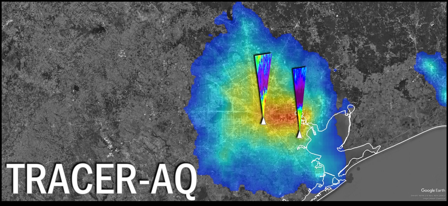
➤ Aircraft observations of ozone precursors (NO2 and HCHO columns) from the GEOCAPE Airborne Simulator (GCAS) and ozone and aerosol profiles from the High Spectral Resolution Lidar-2 (HSRL-2)
Complementary observations from partners include suites of atmospheric composition and meteorological measurements from ground-sites, mobile laboratories, and boat platforms. All current planning and logistics information for the TRACER-AQ field study can be found in the TRACER-AQ Science Plan (linked below)
Through summer 2021 and beyond, this group aims to build partnerships and collaborations within the air quality and health research community. To ask questions or to get involved, please contact Laura Judd (laura.m.judd@nasa.gov) and John Sullivan (john.t.sullivan@nasa.gov).